Disaster response UAV — Fire services
Rapid mapping, thermal search and comms relay after disasters. Delivered for a fire services client in Visakhapatnam.
- Location
- Visakhapatnam
- Year
- 2026
- Duration
- 23 weeks
- Team
- 8 engineers
- 30 min
- response time
- 93
- km² mapped
- 141
- people located
The challenge
Data existed but lived in spreadsheets and legacy systems, so decisions were made on instinct rather than evidence.
What we built
We ran a two-week discovery sprint, then built and fielded the system end to end on PX4, Thermal and Mesh radio, with operator training and an SLA.
Delivery timeline
Phase 1
Discovery sprint and site survey
Phase 2
Prototype built and tested in the Motera lab
Phase 3
Pilot on site with before/after measurement
Phase 4
Scale-out, training and handover
Highlights
- Before-and-after measurements agreed with the client up front
- Safety case reviewed with the client's EHS team
- Integrated with existing PLC, ERP or GIS systems — no rip-and-replace
- Remote monitoring and over-the-air updates included
Related Unmanned projects
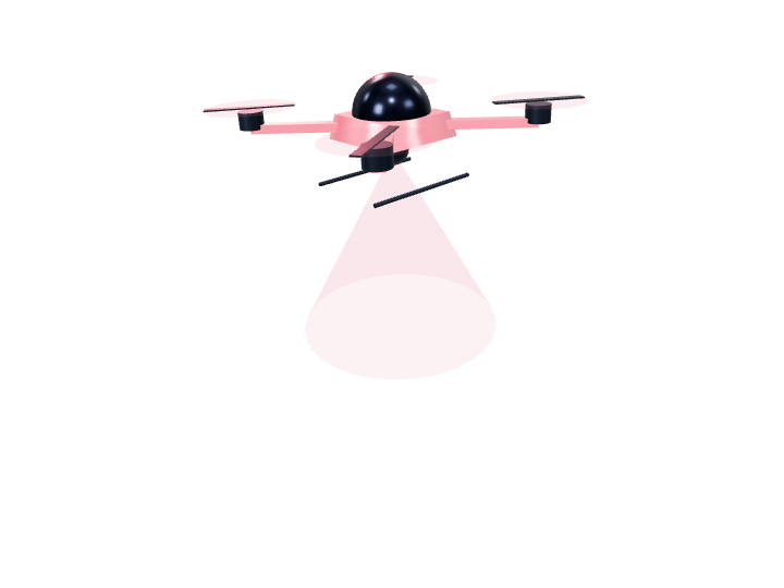 UnmannedDelivered
Disaster management · Bharuch · 2020
Disaster response UAV — Disaster management
Rapid mapping, thermal search and comms relay after disasters. Delivered for a disaster management client in Bharuch.
- 20 min
- response time
- 9
- km² mapped
- 92
- people located
UnmannedPilotPolice · Bengaluru · 2022
Disaster response UAV — Police
Rapid mapping, thermal search and comms relay after disasters. Delivered for a police client in Bengaluru.
- 35 min
- response time
- 31
- km² mapped
- 129
- people located
UnmannedPilotCoast guard · Hyderabad · 2021
Disaster response UAV — Coast guard
Rapid mapping, thermal search and comms relay after disasters. Delivered for a coast guard client in Hyderabad.
- 33 min
- response time
- 103
- km² mapped
- 183
- people located
UnmannedDeliveredNGO · Mumbai · 2022
Disaster response UAV — NGO
Rapid mapping, thermal search and comms relay after disasters. Delivered for a ngo client in Mumbai.
- 15 min
- response time
- 80
- km² mapped
- 26
- people located
Have a problem that needs a machine built for it?
Tell us the constraint — line speed, accuracy, environment, deadline. An engineer will read it and reply with a straight answer, including when the answer is that you don't need us.
We reply to every enquiry within one business day.